Finland’s first maritime spatial plan completed — extensive work will help to combine the good state of the marine environment and sustainable growth
For the first time, a comprehensive maritime spatial plan has been prepared for the Finnish marine area, compiled in an extensive cooperation process between various actors. The plan is a presentation with a map covering both territorial waters and the exclusive economic zone. It outlines, for example, significant and potential areas for underwater natural and cultural values, energy production, fishing, aquaculture, shipping and tourism. The aim is to reconcile the needs of different sectors and thus to improve the management of maritime industries and the state of the marine environment.
For the first time, a comprehensive maritime spatial plan has been prepared for the Finnish marine area, compiled in an extensive cooperation process between various actors. The plan is a presentation with a map covering both territorial waters and the exclusive economic zone. It outlines, for example, significant and potential areas for underwater natural and cultural values, energy production, fishing, aquaculture, shipping and tourism. The aim is to reconcile the needs of different sectors and thus to improve the management of maritime industries and the state of the marine environment.
– Finland’s marine area has been searched through, and we have a tool in our hands to help reconcile different maritime interests. We now have a clearer picture, for instance, of the possibilities of increasing offshore wind power. Use of the sea must be based on a healthy sea and archipelago and on the preservation of unique natural values, as identified in the Maritime Spatial Plan. My warm thanks to those who have worked hard for the plan along the Finnish coast for years, says Krista Mikkonen, Minister of the Environment and Climate Change.
The Maritime Spatial Plan provides information to serve in the background of more detailed regional plans, such as regional land use plans, and to support regional development work and permit procedures. The information can also be utilised by different sectors. The Maritime Spatial Plan is not included in the system of land use planning and has no legal effect. The plan is updated at least every ten years.
The plan is drawn up in collaboration by eight coastal regional councils. Regional authorities, various stakeholders and research institutes are also actively involved in the work.
Maritime spatial plans are drawn up in each EU Member State located by the sea. The aim of the Baltic Sea countries is that the plans can also coordinate projects and activities across maritime boundaries, secure ecological connections and improve the state of the marine environment.¨
Future strengths of the Finnish marine area
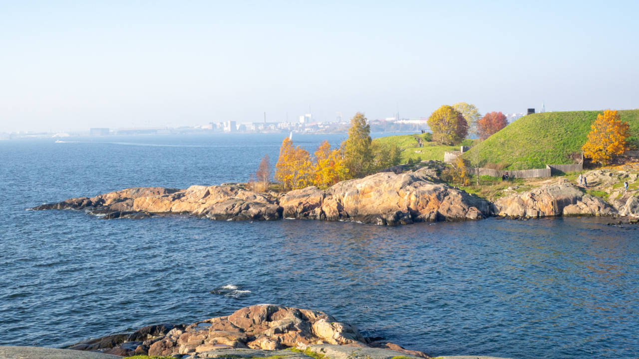
Gulf of Finland
In the Gulf of Finland, maritime activities are integrated while also fostering the good state of the marine environment. The marine area is heavily trafficked and has major international ports, which generate growth.
Cities by the sea are a gateway for tourists to the archipelago, whose unique atmosphere also attracts new residents and actors. Sustainable recreation and tourism services are developed on the terms of local residents, nature and cultural values. Research cooperation linked with marine areas creates blue growth, i.e. innovation, product development and new jobs.
Northern Bothnian Sea, Kvarken and Bothnian Bay
The area is characterised by a coastline with post-glacial rebound, large rivers with inhabited estuaries, a partly shallow sea area and ice-covered winter conditions. The Bothnian Bay National Park and the Kvarken Archipelago, a UNESCO World Heritage Site, will continue to attract the development of tourism and recreation.
The multisectoral industry based on shipping will continue to play a key role. Most coastal areas and the Kvarken Archipelago are important fishing areas. The Bothnian Bay is home to migratory fish in the Baltic Sea, and aquaculture areas are being developed with marine nature in mind.
The Vaasa-Umeå link creates the preconditions for developing activities in the Kvarken area. The Northern Bothnian Sea and the Bothnian Bay have potential areas for offshore wind power plants.
Archipelago Sea and Southern Bothnian Sea
The location of the Bothnian Sea in the transitional zone between southern and northern species, the Archipelago Sea Biosphere Site and the coastal rivers and estuaries form a unique entity, the preservation of which is supported by the Bothnian Sea and Archipelago Sea National Parks. The diverse cultural heritage and natural values are the attractions of the area.
The region is home to an internationally competitive concentration of ports and high-tech maritime industries. In the future, all industrial activities will focus on solutions that improve the state of the marine environment. The aim is to develop renewable energy production and, in particular, to increase offshore wind power. Fishing in the southern part of the Bothnian Sea and aquaculture based on new technology in the Archipelago Sea are viable livelihoods.
Merialuesuunnittelu.fi: Maritime spatial planning(You are transferring to another service)
Further information:

Suvi Silvennoinen
Senior Adviser
suvi.silvennoinen@uudenmaanliitto.fi
Participation, interaction and communication e.g. in the VISIO plan. Maritime spatial planning. Areas of responsibility in regional land use planning: Hanko, Inkoo, Karkkila, Kirkkonummi, Lohja, Nurmijärvi, Raasepori, Siuntio and Vihti