Future traffic in the Baltic Sea and urban airspace
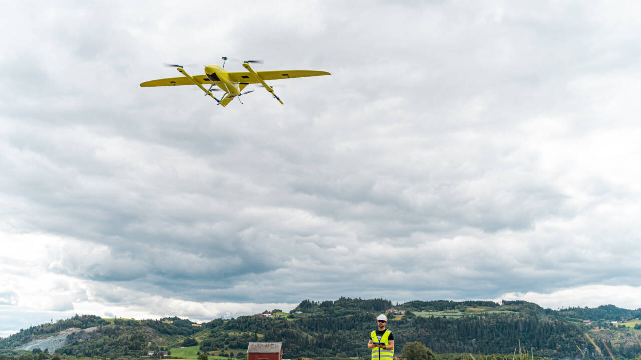
Safe navigation in the waters and air of the Baltic Sea region is increasingly dependent on up-to-date information, functioning backup systems, and foresight. In projects under the Interreg Baltic Sea Region programme, Finnish operators have developed solutions that improve navigation and preparedness for disruptions, and help cities to prepare for the proliferation of drones.
Safe navigation is based on accurate information
A ship sailing through the Baltic Sea often crosses the maritime areas of several countries. That is why navigation must be smooth and safe across borders. The information must be up-to-date and standardised, compatible with navigation services, and easy to use regardless of which country’s waters are being traversed.
The Baltic Sea e-Nav project has developed new types of digital navigation products and services. This undertaking is related to the international IHO S-100 standard, which will make it possible to combine different data sources in the same navigation view in the future.
– In practical terms, the ship’s crew will be able to see more information that affects safe passage, such as water level, currents, and seabed formations on the same screen in the future. One of the results of our project was a prototype navigation system that can utilise these new digital products and the new generation of maps, says Antti Värre from Satakunta University of Applied Sciences, which took part in the project.
The solutions have been tested in simulators together with seafarers to ensure that they will also work in practice. Testing has also sought certainty that the different information products will come together to form a clear and consistent overview for the navigator.
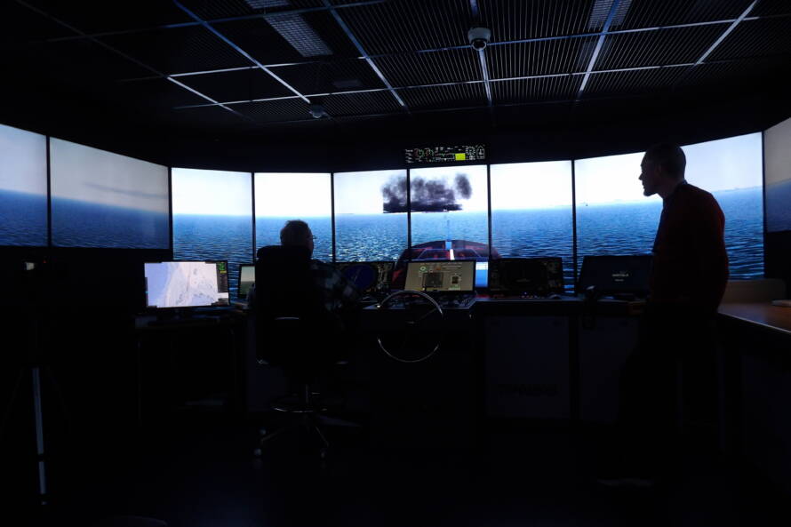
The MaDaMe project also develops e-navigation, but it focuses on the safe transmission of information from the authorities to ships. The project has tested the information exchange platform and developed such products as a digital departure permit procedure, a maritime warning service, and a way to transmit information about faults in the sea route safety devices directly to the navigation system.
– Important information in shipping has largely depended on word of mouth and various messages. Now the goal is that e.g. maritime warnings and information about faults in buoys or other navigation channel safety devices will be transmitted directly to the navigation system, says Tuomas Martikainen from the Finnish Transport Infrastructure Agency.
When maritime transport operates smoothly and reliably, the impacts transcend safety. They are also visible in the competitiveness of companies and ultimately in the everyday lives of ordinary Finns through the availability and price of goods, for example.
Disruptions must be prepared for in advance
Security does not only mean the smooth flow of information in normal conditions but also the ability to act when there’s a disruption.
The ORMOBASS project has developed solutions for situations where satellite positioning systems such as GPS do not work normally. The project has built an R-Mode system based on terrestrial technology, which will provide vessels with a backup system when satellite positioning is not reliable enough for safe navigation. In practical terms, it’s about getting additional positioning support from ground-based systems and not just from satellites.
– Backup solutions related to satellite positioning disruptions are essential at the moment. Each week, we witness situations in the Baltic Sea where ships lack reliable location and time information, which makes safe navigation difficult. This terrestrial solution provides one way to improve resilience in the case of disruptions, says Olli Soininen from Fintraffic, which took part in the project.
The project has also developed a system for compiling a more accurate situational risk overview of satellite positioning disruptions. In practice, it will help to indicate which part of a route has the greatest risk of disruptions. The vessel can therefore have more information than usual about where it must be especially vigilant during a voyage.
The Baltic Sea is one of the busiest maritime areas in the world, but also a sensitive marine environment where the effects of accidents can linger for a long time. The OpenRisk II project focuses on how to identify maritime transport risks as effectively as possible.
The project develops practical tools for the use of authorities and other operators. One of them displays the Baltic Sea’s risk overview on a map and as graphs. The tool is based on the AIS traffic information sent by ships, which it uses to continuously calculate the probability and severity of an accident. This allows for a more up-to-date picture of which maritime areas, ship types, or traffic situations present a greater risk than usual.
– It is very important to form for a shared risk overview for the Baltic Sea region as it allows different countries to allocate resources appropriately and to cooperate with one another, says Valtteri Laine from Traficom.
The project is also developing a tool for assessing the consequences of oil spills. It can be used to model how oil spreads and what effects a leak could have on the marine environment.
– The consequences of an oil spill are not limited to the acute situation. They can still be seen in nature for a long time afterwards. That is why it’s important to identify risks in advance in the Baltic Sea region; the better we know the risks, the better we can prevent accidents and reduce their impact on people and the environment, says Laine.
In addition, the project has developed a model that allows the authorities to assess the level of their own risk management and to identify which operations still need to be improved.
The proliferation of drones is also a challenge in cities
The proliferation of drones is also changing the operating environment of cities. Although cities do not control their airspaces themselves, they do still need to be prepared for the impact that drones have on services, security, and urban planning.
The CITYAM project has helped cities to prepare for change. The project has developed a geospatial tool that allows urban planners to assess where drone landing sites can be safely located and how they can fit into the rest of the urban environment. It can also be used to examine how drones can support the activities of the authorities.
– Cities can specifically influence what happens at the ground level. That’s why planning e.g. drone landing sites is a new but very important issue for cities, says Renske Martijnse-Hartikka from Forum Virium Helsinki.

However, the project did not remain at just the planning level; the solutions were also tested in practice.
– The pilot experiment that was carried out in Helsinki investigated whether a drone could act as a quick transport solution when protective equipment or other critical supplies need to be delivered quickly, for example. We tested this by flying a cargo drone 40 times between Kalasatama and Laajasalo, says Martijnse-Hartikka.
The project also investigated how visible satellite positioning disturbances are in low airspace. This is important because drones also rely on positioning, and disruptions can affect their safe use similarly to maritime transport.
Martijnse-Hartika believes that it is important that cities take time in advance to examine what the proliferation of drones means in practice and how to prepare for it.
– In order to keep the proliferation of drones under control, cities need to be involved in the change in a timely manner. That is why the CITYAM project has also developed tools to support the development of urban drone strategies and to discover the opinions of city residents.
Creating impact through projects
The Interreg Baltic Sea Region 2021–2027 Programme is a transnational cooperation programme covering countries across the Baltic Sea region. While the programme area includes several major European metropolitan regions, the majority of the territory is rural.
The programme aims to support the green transition and strengthen resilience across the Baltic Sea region, while improving the quality of life of its residents.
The Helsinki-Uusimaa Regional Council is responsible for national communication for the Baltic Sea Region Programme. In addition, we grant and pay national co-financing to Finnish partners in projects funded under the programme during the 2021–2027 programming period and act as the programme’s supervisory authority.
This article is part of a five-part series exploring the results and impacts of Interreg Baltic Sea Region projects. The article was written by Juho Heikkinen (OSG).
Take also a look at these
 Cases
Cases
2.9.2026
Sustainable tourism on the shores of the Baltic Sea – Water load management, cycling routes, and rural produce
Protecting the sensitive waters of the archipelago with wastewater solutions, Europe-wide cycling tourism highways, and new services from rural food producers all go hand in hand. Tourism in the Baltic Sea region is developed sustainably through cross-sectoral, cross-border cooperation and flexible local solutions. They are made possible by the EU's Interreg Baltic Sea Region programme.
 Cases
Cases
23.6.2026
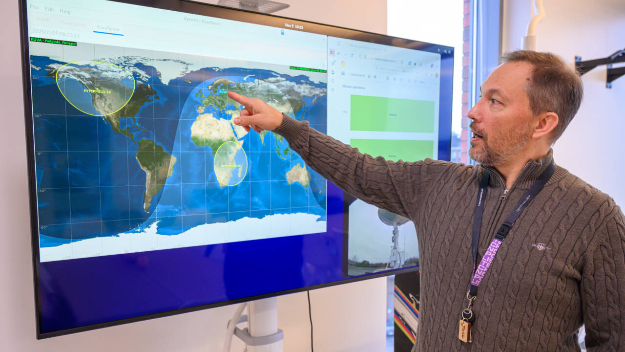
Daily global data from Kuva Space’s satellites
Kuva Space captures rapidly updated Earth observation data through its microsatellites. While the information is increasingly vital for global security, it is also used to monitor climate change, forecast crop yields, analyse water quality, and support land-use planning.
 Cases
Cases
7.4.2026
A digital tool making a big difference in youth mental health
New kinds of tools are needed to help professionals support young people struggling with mental health challenges. In the wellbeing services county of Eastern Uusimaa, a digital intervention navigator called Nuorten Navi has proven to streamline assessments and guide young people toward the right care at the right time.
 Cases
Cases
4.3.2026
Pornainen made headlines with the world’s largest sand battery
Pornainen was chosen as a pilot site when a Finnish circular economy innovation, an industrial-grade sand battery, began producing clean district heating for the municipality.